
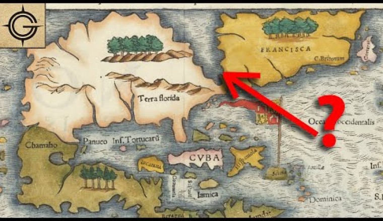

Maps from the age of discovery are filled with some pretty interesting geography. They had a mass that kept the world from tipping over, the north pole had a giant magnetic rock in the center, there was even land populated by giants. This video is an example of weird geography on old maps.